Carlson SurvPC
Carlson SurvPC enables surveyors to capture, stake, and analyze field data efficiently with GNSS and total stations. Supports Esri® and CAD formats, integrates photos and GIS attributes, and offers robust field-to-finish workflows, quick feature coding, and easy hardware configuration for accurate, real-time surveying.
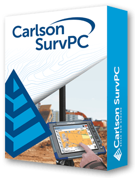
Carlson SurvPC provides surveyors with versatile, intuitive field software for GNSS, total stations, and GIS-enabled data collection. It supports direct work with Esri® maps and geodatabases, MicroStation® DGN, and AutoDesk® DWG without conversions, preserving symbols and attributes.
SurvPC features robust field-to-finish workflows, including automatic line creation, point projection, COGO calculations, area and volume computations, DTMs, and snap-based point creation. Camera integration allows images to be attached to points or lines. Quick search and one-touch icons streamline field operations. Its graphical interface supports DXF, DWG, Shape, XML, DGN, ASCII, and DTM formats.
Hardware flexibility allows use with RTK GNSS, total stations, and data collectors. Enhanced memory management and KML export provide fast field verification in Google Earth. SurvPC ensures precise, efficient, and professional survey work for a variety of projects.
Hardware Flexibility
• Supports hundreds of GNSS receivers, total stations, and data collectors.
• Works with RTK GNSS, robotic or conventional total stations, and inertial systems.
GIS & Map Integration
• Direct Esri® map access with geodatabase integration.
• Load MicroStation® DGN and AutoDesk® DWG files without conversion.
• GIS Inspector enables instant access to attributes.
Field-to-Finish & Stakeout
• Automatic line creation, point coding, and feature assignment.
• Stake points, lines, axes, cross-profiles, and DTMs.
• Voice prompting and quick search streamline stakeout.
Data Management & Reporting
• Supports DXF, DWG, Shape, XML, DGN, ASCII, and DTM formats.
• KML export for Google Earth verification.
• Enhanced memory management allows larger graphic files.
Advanced Field Features
• Freehand drawing in map window, snap-based point creation.
• Area and volume calculations using surfaces or fixed elevations.
• Camera integration allows assigning images to points or lines.
Carlson Software is more than just a purchase—it’s a partnership.
With dedicated Regional Managers across the country, free lifetime technical support, and flexible training options to fit any budget, we’re here to support you every step of the way.
Direct Technical Support
• Hours: Monday – Friday, 9 AM – 5 PM
• Email: tim@carlsongs.com
• Telephone: +1 (716) 799-4187
Similar Products You May Like
Carlson Layout
Fast, intuitive Android-based layout software for construction professionals using total stations or GNSS receivers.
See Product

