Carlson Construction
Carlson Construction provides integrated cut/fill estimating, 3D surface modeling, and construction staking. It converts 2D CAD or PDF designs into accurate 3D models, outputs machine control files, and generates material quantity reports. Designed for site and road construction, it streamlines data prep and ensures project-ready files for the field.
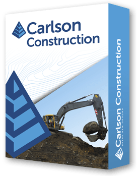
Carlson Construction is a complete solution for site and road construction projects, combining cut/fill estimating, 3D surface modeling, and construction staking. It allows users to convert 2D CAD or PDF designs into precise 3D models, adjust elevations and slopes, and prepare machine control files for heavy equipment.
The software simplifies material quantity reporting, enabling accurate calculations for asphalt, gravel, subgrade, and select fill. Users can easily edit surfaces, move lines to correct elevations, and elevate 2D designs into 3D, ensuring accurate and project-ready files for the field.
Compatible with AutoCAD® and IntelliCAD®, Carlson Construction also supports PDF and DGN file imports, drawing cleanup, and integration with Google Earth. From design verification to machine-ready outputs, it empowers estimators, engineers, and construction teams to streamline workflows and reduce errors.
Comprehensive Construction Tools
• Cut/fill estimating with material quantity reporting.
• Convert 2D CAD or PDF plans into 3D surface models.
• Construction staking and machine control file outputs.
Advanced 3D Modeling & Editing
• Elevate 2D designs to accurate 3D models.
• Move lines and adjust elevations for precise grading.
• Validate surfaces with color maps and 3D view tools.
Flexible Compatibility
• Supports AutoCAD® and IntelliCAD® .dwg files.
• Import PDFs and DGN files.
• Export machine control files for Carlson Grade, Trimble, Topcon, and Leica.
Efficient Workflow
• Clean up CAD drawings and fix common errors.
• Integrate with Google Earth for visualization.
• Streamlined tools for roads, sites, and building columns.
Carlson Software is more than just a purchase—it’s a partnership.
With dedicated Regional Managers across the country, free lifetime technical support, and flexible training options to fit any budget, we’re here to support you every step of the way.
Direct Technical Support
• Hours: Monday – Friday, 9 AM – 5 PM
• Email: tim@carlsongs.com
• Telephone: +1 (716) 799-4187
Similar Products You May Like
Carlson iCAD
Carlson iCAD delivers powerful CAD tools for drafting, design, engineering, and precision workflows.
See Product

Similar Products You May Like
Carlson Civil
Carlson Civil delivers fast, intuitive 2D and 3D design with automation for roads, sites, and lot networks.
See Product

