Carlson P3D Topo
Precision 3D Topo allows surveyors and engineers to merge point clouds, edit surfaces, import survey data, and generate accurate 3D models. Advanced texturing, volume calculations, and integration with Google Maps or CAD formats streamline topographic mapping and analysis for civil and construction projects.
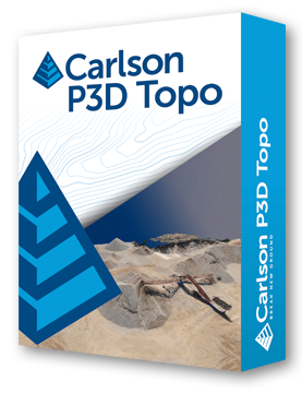
Carlson Precision 3D Topo bridges survey and CAD by importing LIDAR, drone, and traditional survey data to create usable 3D surfaces.
Users can merge and edit point clouds, apply bare-earth filters, remove outliers, and crop or delete points to refine surfaces.
Powerful surface editing tools allow adding points, polylines, or 3D breaklines, adjusting triangle edges, smoothing surfaces, and merging models. Volumes can be calculated directly from point clouds or between surfaces, with cut/fill displayed and reports generated.
Advanced texturing and presentation tools include Google Maps backgrounds, 3D draped textures, automated colorization of surfaces, overlay of images, OBJ/SKP model imports, and animation for flyovers or drive-alongs. P3D Topo supports LandXML, DXF, TIN, TN3, and TTM exports.
Multithreaded and 64-bit, the software leverages all available RAM and advanced 3D shaders to efficiently process large datasets and point clouds, offering real-time dynamic contours, volume calculations, and detailed surface editing.
Point Cloud & Survey Data
• Import LIDAR, aerial drone, and survey data.
• Merge, crop, and clean point clouds with bare-earth filters.
Surface Editing
• Add/remove points, polylines, and 3D breaklines.
• Swap triangle edges, smooth surfaces, remove dimples.
• Merge surfaces and refine ridges and valleys.
Volume & Analysis
• Calculate volumes from point clouds or between surfaces.
• Display cut/fill volumes and generate reports.
Texturing & Presentation
• Use Google Maps backgrounds and draped textures.
• Automate colorization and overlay images on surfaces.
• Import 3D models (OBJ/SKP) and create animations.
Performance & Compatibility
• Multithreaded 64-bit software using all available RAM.
• Export/import LandXML, DXF, TIN, TN3, and TTM formats.
• Advanced 3D shaders for faster graphics processing.
Carlson Software is more than just a purchase—it’s a partnership.
With dedicated Regional Managers across the country, free lifetime technical support, and flexible training options to fit any budget, we’re here to support you every step of the way.
Direct Technical Support
• Hours: Monday – Friday, 9 AM – 5 PM
• Email: tim@carlsongs.com
• Telephone: +1 (716) 799-4187
Similar Products You May Like
Carlson iCAD
Carlson iCAD delivers powerful CAD tools for drafting, design, engineering, and precision workflows.
See Product

Similar Products You May Like

Carlson Civil
Carlson Civil delivers fast, intuitive 2D and 3D design with automation for roads, sites, and lot networks.
See Product

