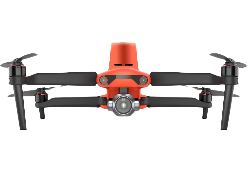
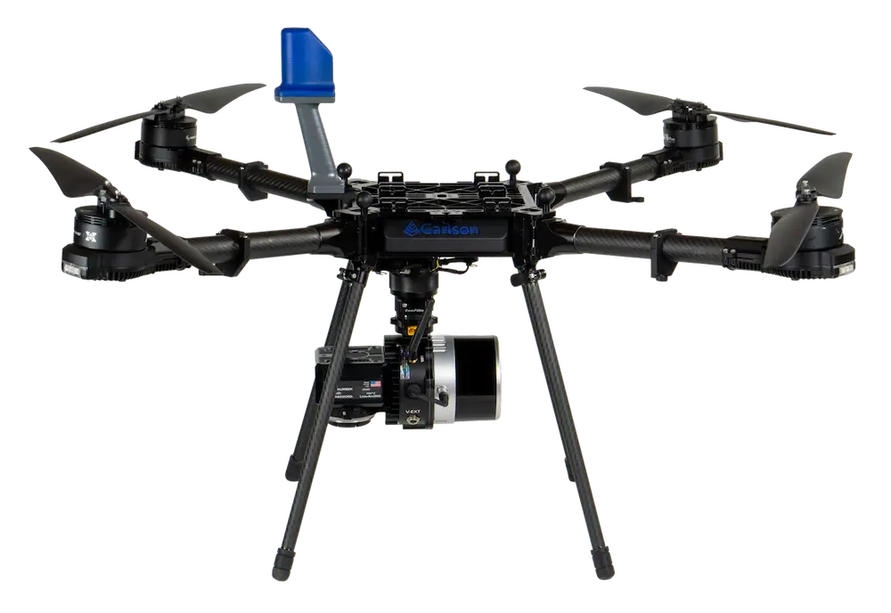
RTK Drones
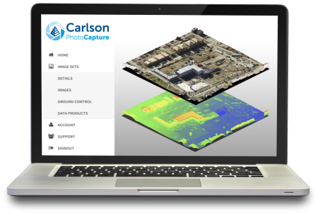
Carlson RTK drones provide sub-centimeter precision for surveying, construction, mining, and agricultural projects. With real-time kinematic positioning and seamless integration with PhotoCapture and Point Cloud, these drones streamline aerial mapping, reduce field time, and enhance productivity from field to finish.
See Products