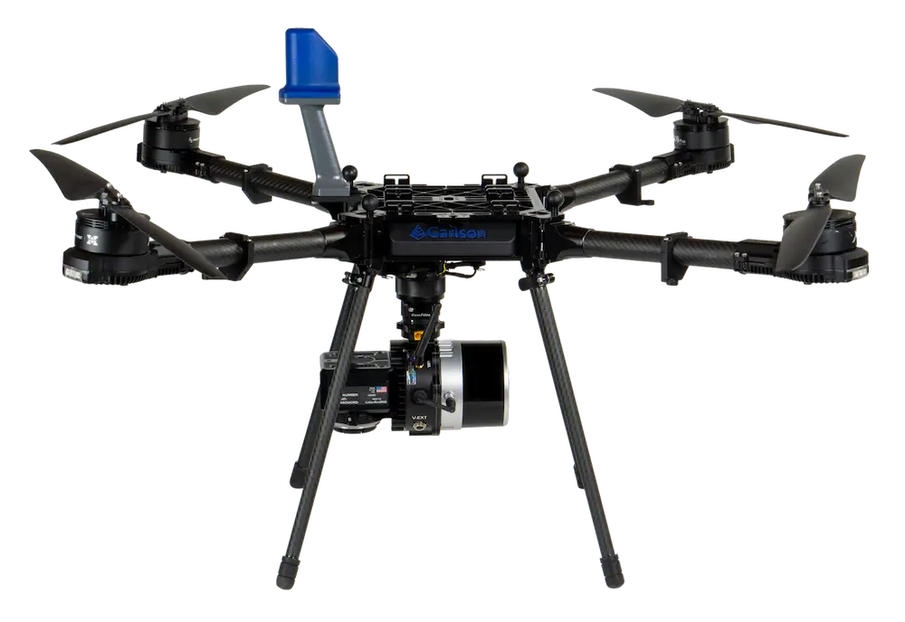
The Carlson CRD1 is a professional American-made sUAS platform designed for advanced surveying, construction, engineering, mining, and land development operations. It supports payloads up to 20 lbs, including LiDAR, photogrammetry, and bathymetric sensors.
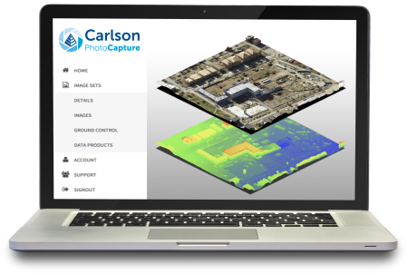
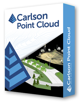
Data collected by the CRD1 can be processed in Carlson PhotoCapture and Carlson Point Cloud Advanced to generate maps, surface models, as-built designs, volume calculations, profiles, and more. The platform features Auterion Skynode flight control, 4G LTE connectivity, FPV camera, and optional NDAA compliance.
Rugged, precise, and versatile, the CRD1 combines long-range flight capabilities, high payload capacity, and professional-grade sensors for high-accuracy aerial mapping and data collection in challenging environments.
High-Performance Drone
• Payload up to 20 lbs (9 kg) including LiDAR, photogrammetry, bathymetry.
• Motors: (4) X6 170kv, 24” propellers.
• Flight time: 20–45 min, max speed 50 mph / 72 km/h.
Durable & Rugged
• Dust and water-resistant (IP53).
• Operating temperature: -10° to 50°C.
• Maximum thrust: ~88 lbs / 40 kg.
Connectivity & Control
• Auterion Skynode flight control.
• Control range up to 15 km (~9 miles).
• 4G LTE modem, 2.4/5GHz Wi-Fi, USB, HDMI, Micro SD card.
Included Accessories
• Aircraft ready-to-fly, radio controller, SKB travel case with custom foam.
• Prop protectors, ISO mount plate, dual battery charger, two 16Ah LiPo batteries, GNSS antenna, toolkit.
Payload Options
• FPV Camera, Resepi Hesai XT-32 LiDAR, Sony α7R 61MP camera with Pixy gimbal, EchoLogger bathymetric sounder.
• Remote ID ready, FCC certified.
Motors: 4 x X6 170kv
Propellers: 24”
Weight: ~12 lbs / 5.5 kg
Max Payload: ~20 lbs / 9 kg
MTOW: 44 lbs / 20 kg
Power: 10–25Ah, 44V, 2–6s LiPo
Flight Time: 20–45 minutes (payload dependent)
Control Range: ~15 km / 9 miles
Max Speed: 50 mph / 72 km/h
Flight Control: Auterion Skynode
Connectivity: 4G LTE, Wi-Fi 2.4/5 GHz, USB, HDMI, Micro SD
FPV Camera: 1080p HD, 5.5” screen, Android OS
Payload Options: LiDAR, photogrammetry, bathymetry, Sony α7R 61MP camera, EchoLogger sounder
Durability: IP53, dust and water-resistant, operating -10° to 50°C
Accessories: Radio controller, dual batteries, travel case, prop protectors, ISO mount plate, toolkit
Certification: FCC certified, optional NDAA compliance
Carlson Software is more than just a purchase—it’s a partnership.
With dedicated Regional Managers across the country, free lifetime technical support, and flexible training options to fit any budget, we’re here to support you every step of the way.
Direct Technical Support
• Hours: Monday – Friday, 9 AM – 5 PM
• Email: tim@carlsongs.com
• Telephone: +1 (716) 799-4187